by Peter N. Steinmetz
Amongst my flights to the paved public use airports, quite a few were notable, though perhaps not the most notable or extreme in any particular aspect. Here are a few of those airports which are less frequently visited:
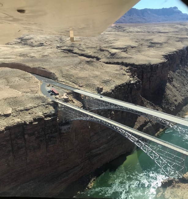
Marble Canyon (L41)
This fairly narrow 35' x 3715' runway near the Navajo Bridge was built by the owners of the Marble Canyon Lodge to accommodate their personal interest in flying as well as lodge guests. A flight from near the Grand Canyon to land there has spectacular scenery as does the flight over the Echo Cliffs to the southeast.


Tuba City (T03)
This airport is another used primarily for medical air evacuation to/from the nearby Tuba City Regional hospital. One of its distinctions is a large bump in the runway near the north end. I taxied over this and used the southern part for landing and takeoff; I think it would be an unpleasant surprise at higher speeds. (This bump may have been recently repaired.)

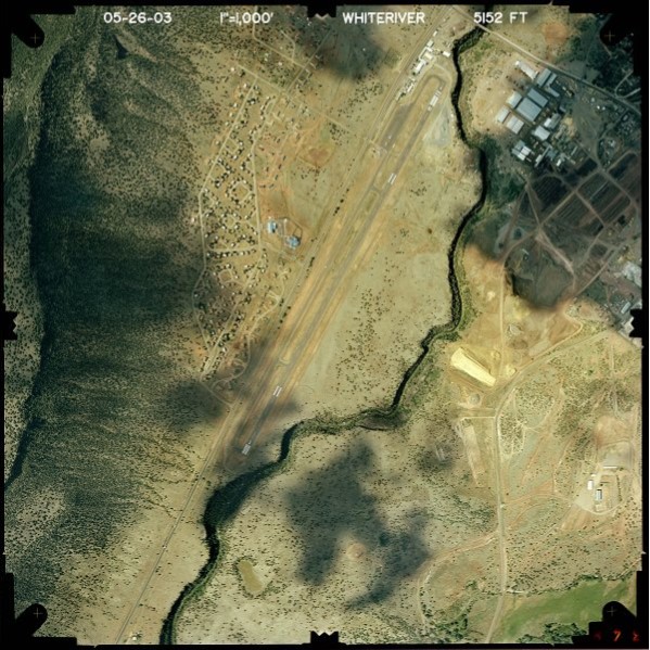
White River (E24)
On the flight back from Springerville in the evening I noted an illuminated runway far below in a valley and decided to return during the day to land on it. Not only is the flight over the Apache-Sitgreaves National Forest to the White River airport beautiful in its own right, the short final to runway 19 takes one directly over a deep canyon just before the threshold.
These cross country flights around Arizona were very beautiful, and in that sense, their own reward. However, another reward awaits those who choose to pursue this quest, particularly if using sectional charts for navigation. As noted by my flight instructor, after visiting all parts of the state at 3000 - 4000' AGL, one is able to figure out location nearly anywhere in Arizona in a small plane just by looking around at the landmarks. The whole state becomes ones’ playground!
