
RESOURCES
FAASTeam Video; Use of Weather Information: youtu.be/8W1XT8xLVpk
“I’ve Got Weather—Now What Do I Do With It?” Mar/Apr 2015, FAA Safety Briefing, page 26: bit.ly/SBMar15
FAA Risk Management Handbook (Chapter 13): bit.ly/FAAbooks
Be sure to also check out the WeatherXplor augmented reality app. With it you can use your smartphone or tablet to turn certain weather product images interactive. Check your mobile device’s application library to download it.

Outreach Guidance and Presentation Notes
Use of Weather Information
Topic of the Month August 2021
Background:
Based on Safety Enhancement (SE) 13 of the GAJSCs study, Weather Technology was found as follows: FAA & Industry educate GA community on available WX Info Technologies. i.e. NOAA ADDS Icing Tool. (FAAST-Lead, EAA, AOPA, NAFI, SAFE, Tng. Providers)
Teaching Points:
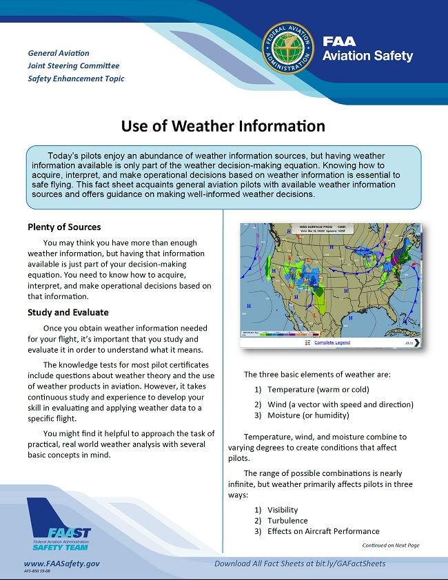
- In this electronic age, the weather sources we utilize for our preflight and in-flight planning are not the single source providers used 20 years ago. Simply put each source has a way they would like you to see weather data.
- Self briefings need to utilze multiple sources for the best possibly outcome.
- Planning and interpretation of the data requires you the pilot to make sense of what is reported and then plan according to your findings.
- Plan for unforecast conditions. Develop “Plan B” strategies in your initial assessment, NOT once your in the air.
- Confirm and update weather as you fly. Report what you see, alter your plan as needed.